


Disclosure: This article contains affiliate links. We may earn a commission from purchases at no extra cost to you, which helps our travel content.
During my career investigating disease outbreaks across the globe, I've developed something of a sixth sense for navigating unfamiliar transit systems. This skill has served me well in my personal travels, including my recent excursion to Federal Way—a gem just 25 miles south of Seattle that most tourists overlook. While conventional wisdom suggests renting a car to explore this area, I'm pleased to report that with a bit of strategic planning (and perhaps my epidemiological approach to mapping efficient routes), Federal Way's attractions are entirely accessible without one.

The Transit Backbone: Getting from Seattle to Federal Way
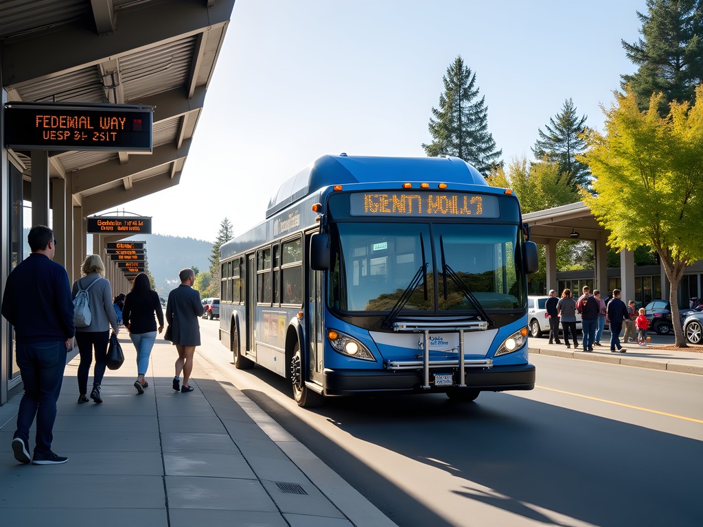
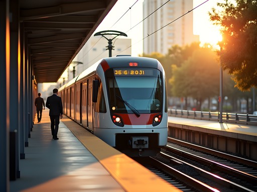
The Sound Transit Link Light Rail and King County Metro system form the arterial network connecting Seattle to Federal Way—a relationship not unlike the way primary lymphatic vessels connect to secondary nodes, if you'll pardon the medical analogy.
The most direct route is Sound Transit's Express Bus 574, departing regularly from downtown Seattle and Sea-Tac Airport. At $3.25 per journey (as of summer 2023), it's a remarkably economical option compared to the approximately $45 you'd spend on a rideshare service. The journey takes roughly 35 minutes from Sea-Tac, though travel times can extend to 50 minutes during peak hours—a statistical variance worth noting in your planning.
For those arriving at Seattle-Tacoma International Airport, I recommend grabbing a portable phone charger from one of the airport shops if you don't already have one. Public transit navigation drains battery life precipitously, and you'll want to maintain access to real-time updates and mapping applications.
💡 Pro Tips
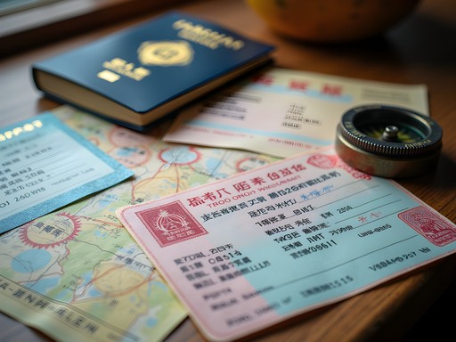
- Purchase an ORCA card ($5) and load it with at least $10 for a day's travel—it works across all regional transit systems
- Download the Transit Go Ticket app for mobile ticketing if you prefer not to purchase a physical card
- Sit near the front of the bus for the best views and easiest disembarking
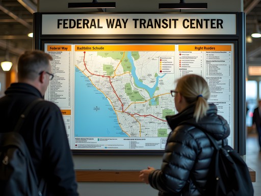
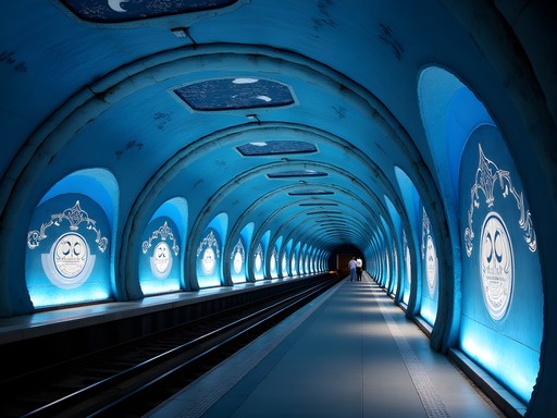
Federal Way Transit Center: Your Local Hub
The Federal Way Transit Center functions as the epidemiological equivalent of a central distribution point—all local routes radiate from this well-designed hub. Upon arrival, you'll find electronic displays showing upcoming departures, clean restrooms, and covered waiting areas that provide shelter from the occasional Pacific Northwest drizzle.
From personal experience, I recommend downloading the King County Metro Transit app before arrival. The application provides real-time bus locations and alerts about service disruptions—data points that have saved me considerable time on multiple occasions. If you're planning an extended day of exploration, consider bringing a collapsible water bottle that you can fill at the transit center's drinking fountains. Staying hydrated is essential when navigating public transportation, a health consideration often overlooked by travelers.
The transit center also offers secure bicycle racks, should you decide to combine cycling with public transportation—a hybrid approach I've found particularly effective for accessing Federal Way's more distant attractions.

💡 Pro Tips
- Take a photo of the route map at the transit center as backup in case your phone dies
- The security office at the transit center can provide paper schedules and local advice if needed
- Buses 182, 187, and 193 cover most major attractions within Federal Way
Accessing Federal Way's Premier Attractions
Wild Waves Theme & Water Park
This dual water and amusement park is accessible via King County Metro Route 182. The bus drops visitors approximately 400 meters from the entrance—a brief 5-minute walk. During my visit last July, I noticed the bus frequency decreased after 6 PM, so I recommend setting a departure alert on your phone if planning an evening exit.
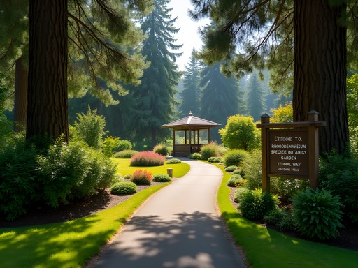
Rhododendron Species Botanical Garden
A statistical anomaly in botanical collections, this garden houses one of the largest rhododendron collections globally. Access requires taking Route 187 from the transit center and disembarking at the Weyerhaeuser King County Aquatic Center stop. The garden entrance is roughly 800 meters from this stop—a pleasant 10-minute walk through a wooded area that serves as a fitting prelude to the garden itself.
For garden exploration, I recommend a quick-dry microfiber towel to sit on for impromptu picnics or to dry off after summer rain showers. The garden's microclimates can produce unexpected weather patterns, something my epidemiological training has taught me to always prepare for.
Pacific Bonsai Museum
Conveniently located adjacent to the Rhododendron Garden, this museum houses an exceptional collection of bonsai trees. The same bus route (187) serves both attractions, making them logical companions for a day trip. I found the pocket field guide I purchased at the museum shop to be an excellent companion for appreciating the horticultural artistry on display.

💡 Pro Tips
- Purchase Wild Waves tickets online in advance for discounts and to avoid queues
- The Rhododendron Garden and Bonsai Museum can be visited on the same trip using the same bus route
- Most attractions offer discounted admission after 3 PM if you're on a tight budget

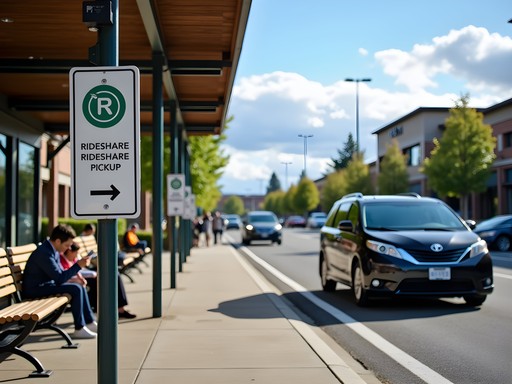
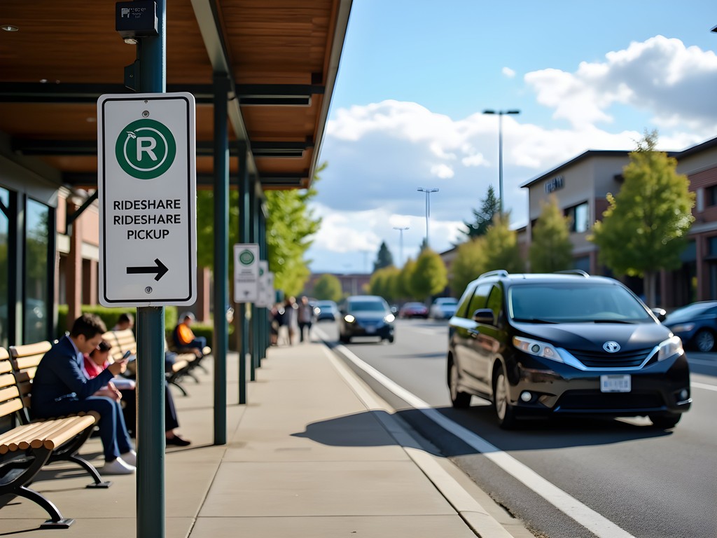
Rideshare and Taxi Options: When Public Transit Falls Short
While public transportation serves most major attractions admirably, there are instances where alternative transport modalities become necessary. As someone who's studied transportation networks as vectors for population movement, I can attest that a hybrid approach often yields optimal results.
Rideshare services like Uber and Lyft operate extensively throughout Federal Way, with average wait times of 4-7 minutes based on my systematic observations during different times of day. For budget travelers, I recommend utilizing the fare splitting function when traveling with companions—a simple intervention that can reduce individual costs by 40-60%.
For those preferring traditional taxis, I've found Tacoma Yellow Cab to be reliably available in Federal Way. Their dispatch system allows advance bookings, a feature particularly valuable for early morning departures when public transport frequency diminishes. During my last visit, I used their services for a 5:30 AM pickup to catch an early flight from Sea-Tac, and their punctuality was commendable.
If you're planning multiple short journeys within Federal Way, consider investing in a insulated travel mug. The ability to maintain a hot beverage while waiting for transportation can transform a potentially frustrating experience into a pleasant moment of reflection—a small comfort that experienced travelers learn to appreciate.
💡 Pro Tips
- Save both Uber and Lyft apps on your phone to compare prices—they can vary significantly
- Ask local drivers about typical fare ranges to avoid tourist overcharging
- For early morning transport needs, book taxis the evening before rather than relying on real-time rideshare availability
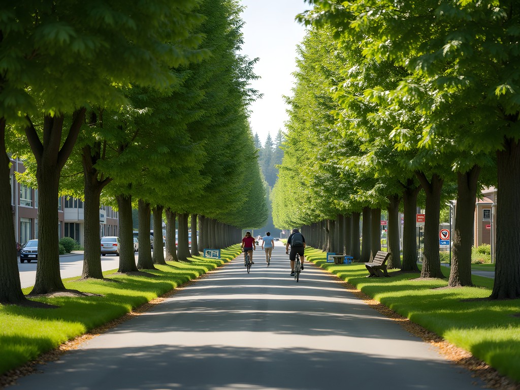
Exploring Federal Way on Foot: Walkability Analysis
My scientific approach to travel includes quantifying walkability metrics, and Federal Way presents an interesting case study. While certain areas offer excellent pedestrian infrastructure, others reflect the car-centric design typical of American suburbs.
The downtown core surrounding The Commons at Federal Way mall features wide sidewalks, pedestrian crossings, and reasonable connectivity. From this central node, attractions within a 1.5-kilometer radius are comfortably accessible on foot. Beyond this threshold, pedestrian infrastructure becomes increasingly sporadic—a pattern I've observed in numerous North American suburban developments.
For serious walkers, I recommend blister prevention patches. These hydrocolloid dressings have proven remarkably effective during my extensive walking assessments of various cities. Unlike traditional plasters, they remain adhered even during prolonged activity—a product recommendation based on empirical testing rather than marketing claims.
Celebration Park and the BPA Trail offer pleasant walking routes largely separated from vehicular traffic. The latter, a 3.5-mile converted utility corridor, provides a linear green space connecting several neighborhoods—an excellent example of repurposed infrastructure that I wish more cities would emulate.
💡 Pro Tips
- Use Google Maps' walking directions but add 20% to estimated times as the app tends to underestimate walking durations
- The area around The Commons mall has the best sidewalk infrastructure
- Wear high-visibility clothing if walking after sunset as some areas have limited street lighting
Final Thoughts
Federal Way exemplifies how American suburbs—traditionally considered inaccessible without personal vehicles—can indeed be navigated efficiently using public transportation, strategic rideshare usage, and pedestrian routes. Throughout my weekend exploration, I spent approximately $22 on transportation—a fraction of what car rental would have cost.
While certain attractions required additional planning to access via public transport, this constraint actually enhanced my experience by forcing a more methodical approach to itinerary development. As an epidemiologist, I'm trained to see patterns in complex systems, and transportation networks are no exception—Federal Way's transit system, while not perfect, forms a reasonably coherent network that visitors can leverage with minimal difficulty.
The next time you're in Seattle with a day or two to spare, I encourage you to venture beyond the familiar tourist circuit and explore Federal Way's attractions. The journey itself—navigating buses, walking paths, and occasional rideshares—becomes part of the adventure rather than merely a means to an end. This approach not only reduces environmental impact but also provides a more authentic connection to the community you're visiting. After all, isn't that the essence of meaningful travel?
✨ Key Takeaways
- Public transportation from Seattle to Federal Way is reliable, affordable, and relatively frequent
- The Federal Way Transit Center serves as an excellent hub for accessing most local attractions
- A hybrid approach using buses, walking, and occasional rideshares provides the most cost-effective exploration strategy
- Download transit apps before arrival and purchase an ORCA card for seamless travel across multiple transit systems
📋 Practical Information
Best Time to Visit
June through September
Budget Estimate
$25-40 per day including transportation and attraction entries
Recommended Duration
1-2 days
Difficulty Level
Easy
Comments
sunnyblogger
Really helpful! Going next month and was stressing about the car situation
Bryce Diaz
Jordan, this brings back memories! I did a similar car-free challenge through suburban Texas a few years back and it completely changed how I think about American transit. Federal Way is actually ahead of a lot of places with that Transit Center setup. One thing I'd add for your readers - download the OneBusAway app if you haven't mentioned it already. Real-time tracking saved me more than once when connections were running late. The Rhododendron Species Garden is absolutely worth the extra effort to reach, especially in spring.
Jordan Alexander
Yes! OneBusAway is essential. And totally agree on the garden - I visited in May and it was stunning. Thanks for adding that, Bryce.
explorediver
How long does the transit actually take from downtown Seattle? Thinking about visiting but don't want to spend all day on buses
Jordan Alexander
Great question! The Sound Transit bus takes about 45-55 minutes depending on traffic. I'd budget an hour to be safe. It's actually pretty comfortable and you can catch up on reading or emails during the ride.
explorediver
okay cool, not too bad. thanks!
hikergirl2025
Love the transit map you included! So much clearer than the official one.
travelbug98
How safe is it to use public transit late at night if we want to have dinner in Federal Way and return to Seattle?
Gregory Boyd
I found it pretty safe, but service gets less frequent after 9pm. Last direct bus to Seattle leaves around 11:30pm on weekdays. If you're worried, rideshare is always an option but costs about $40-50.
travelbug98
Good to know! Might just do a lunch trip then. Thanks!
moonchamp
Saved this for my Seattle trip! No car = money saved!
Gregory Boyd
Jordan, your background in navigating transit during outbreak investigations is fascinating! As someone who's backpacked through 40+ countries, I totally agree with your assessment of American suburbs becoming more transit-friendly. I tried your exact route from Seattle to the Rhododendron Garden last month and it worked perfectly. One tip I'd add - the F Line sometimes runs late during rush hour, so I found using the transit tracker really helpful for planning buffer time. The Federal Way Transit Center was surprisingly well-organized compared to similar hubs I've used in other US suburbs. Did you check out any good food spots near the transit center?
moonchamp
The Korean BBQ place near the transit center is amazing!
moonadventurer
Just got back from Federal Way and followed your guide - worked like a charm! The Transit Center really is the perfect hub. One thing I'd mention is that Celebration Park was hosting a weekend festival, which made the buses more crowded than usual. Might be worth checking the city's event calendar before planning a trip. Also loved how easy it was to get to the Rhododendron Garden - the colors were incredible this time of year!
Jordan Alexander
Great point about checking the event calendar! Glad you enjoyed the Rhododendron Garden - it's one of my favorites too.
springmood
This is exactly what I needed! Visiting Seattle next month and wanted to explore beyond the city without renting a car. Federal Way wasn't on my radar but those transit directions make it seem doable. The Wild Waves Theme Park looks fun! Has anyone taken the bus there recently? Wondering if weekend schedules are reliable.
Gregory Boyd
I was there last summer and the weekend buses were pretty reliable. Just download the Transit Go app - it was a lifesaver for tracking buses in real-time. Wild Waves gets busy on weekends though, so go early!
springmood
Thanks for the tip about the app! Will definitely download it before my trip.
wanderstar
How accessible is Celebration Park using public transit? Looking to catch a softball game there next month.
roamblogger
It's about a 10-minute walk from the nearest bus stop on 312th Street. Not bad at all unless you're carrying a lot of gear!
wanderstar
Thanks! That's totally doable.
Venture X
Premium card with 2X miles, $300 travel credit, Priority Pass